Real Estate
Show the full property story—home, acreage, neighborhood, lake frontage, and access.
Build an estimate → Deaton’s AerialPhotography & Video
FAA certified · Fully insured · Alabama & Georgia
What we capture
Show the full property story—home, acreage, neighborhood, lake frontage, and access.
Build an estimate →Repeatable progress documentation for owners, contractors, and stakeholders.
Build an estimate →High-impact visuals for properties, facilities, tourism, and local brands.
Build an estimate →Cinematic aerial coverage planned around guests, venues, and safe operations.
Build an estimate →Professional farm, field, and property visuals—not crop analysis or surveying.
Build an estimate →Immersive views for websites, destinations, venues, and property marketing.
Build an estimate →Simple starting points
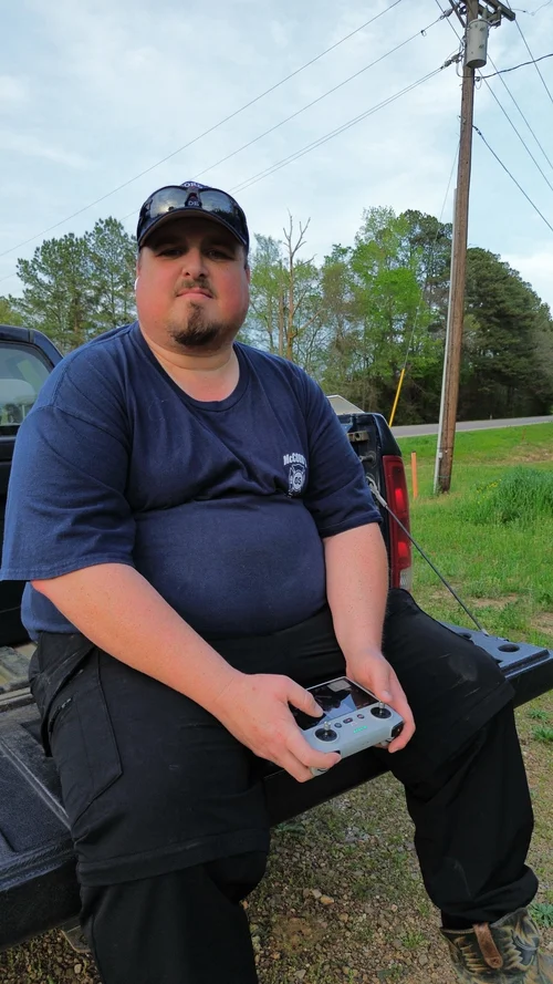 Owner · Pilot · Editor
Meet your pilot
Hi, I’m Zach Deaton—owner and operator of Deaton’s Aerial Photography, established in January 2025 in Centre, Alabama.
From real estate and construction to farms, events, and local businesses, I show up, communicate clearly, and deliver work I’m proud to put my name on.
Good to know
No. With permission and clear property access, the flight can be coordinated completely in advance.
Safety comes first. Unsafe wind, rain, fog, or visibility means a no-cost weather reschedule.
Yes. Zach is FAA Part 107 certified and fully insured for commercial drone operations.
Most projects are delivered within 24–72 hours. Rush delivery may be available.
Have a property or project in mind?